
DuPage ZIP Code Coverage
Census relationship data identifies 42 ZIP Code Tabulation Areas associated with DuPage geography. The groups below preserve practical postal-area labels without claiming that the whole ZIP lies in DuPage County. Border ZIPs need address-level USPS and parcel checks.
| ZIP | Areas Covered | Post Office | Notes |
|---|---|---|---|
| 60007, 60133, 60143 | Elk Grove Village, Hillside, Itasca | USPS address lookup | Cook, DuPage, or O'Hare edges |
| 60101, 60103, 60106, 60108 | Addison, Bartlett, Bensenville, Bloomingdale | USPS address lookup | Bartlett reaches neighboring counties |
| 60126, 60137, 60139, 60148, 60157 | Elmhurst, Glen Ellyn, Glendale Heights, Lombard | USPS address lookup | 60157 needs address verification |
| 60172, 60174, 60181, 60184, 60185 | Roselle, St. Charles, Villa Park, West Chicago | USPS address lookup | Roselle and St. Charles cross county context |
| 60187, 60188, 60189, 60190, 60191 | Wheaton, Carol Stream, Winfield, Wood Dale | USPS address lookup | 60189 is a Wheaton postal area |
| 60439, 60440 | Lemont, Bolingbrook | USPS address lookup | Cook, Will, and DuPage edges |
| 60502, 60504, 60510, 60519 | Aurora, Eola, Batavia | USPS address lookup | Verify municipality and county |
| 60514, 60515, 60516, 60517 | Clarendon Hills, Downers Grove, Woodridge | USPS address lookup | Woodridge has county-edge context |
| 60521, 60523, 60527, 60532 | Hinsdale, Oak Brook, Burr Ridge, Lisle | USPS address lookup | Several touch Cook or Will geography |
| 60540, 60563, 60564, 60565 | Naperville | USPS Naperville lookup | Check DuPage versus Will County |
| 60555, 60559, 60561 | Warrenville, Westmont, Darien | USPS address lookup | Verify the complete address |
This coverage table is a starting point. USPS controls the deliverable address. The Census Bureau describes statistical geography. DuPage GIS and the Assessor establish where a parcel sits for local record work.
Verify DuPage ZIP Codes First
Enter a complete street address in the USPS ZIP Code Lookup. Keep the returned postal city and full ZIP code exactly as shown. The tool is dynamic, so a saved screenshot should include the date and the address used.
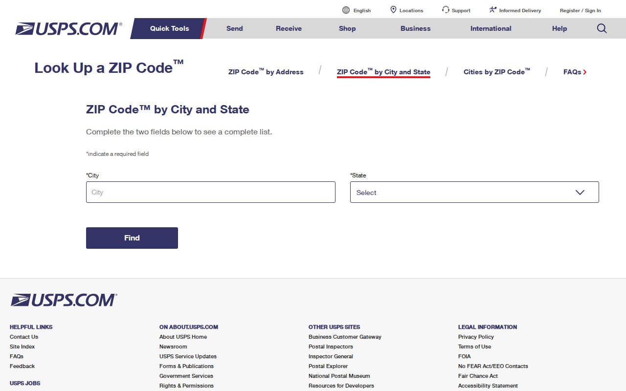
The USPS screen is the delivery check, not the county test. Follow it with the parcel PIN and legal situs before choosing a recorder, court, tax, permit, or vital-record custodian.
Find DuPage Residents by ZIP
A ZIP code directory narrows geography. It does not return a roster. DuPage's Assessor advertises address, PIN, billing-name, owner-name, and map routes rather than a countywide ZIP filter. GIS searches parcels by PIN, address, partial address, subdivision, intersection, map shape, or buffer. The voter tool uses name and lawful identifiers or a structured street address, not ZIP-first browsing.
- Verify the complete address and postal city with USPS.
- Search the Assessor by street address and record the PIN and situs.
- Open GIS to confirm parcel, municipality, subdivision, and county position.
- Use the specific name or address in the official voter, deed, permit, or court route.
- Send the request to the legal county custodian, not merely the postal city.
When the task becomes street-level, the DuPage County street directory explains the address-to-parcel chain in full.
Naperville ZIP Boundary Trap
Naperville is the strongest local warning. The city spans DuPage and Will Counties. Its DuPage portion is generally north of 87th Street, while the southern part is generally in Will County. A Naperville postal city, permit, or ZIP code therefore cannot choose the county office by itself.
Boundary check. Confirm the parcel county before requesting Naperville court, tax, deed, permit, or vital records.
The same rule applies at Aurora, Bartlett, Roselle, St. Charles, Lemont, Bolingbrook, Hinsdale, Burr Ridge, and county-edge areas. Postal labels support mail delivery. They do not settle municipal government or record custody.
DuPage ZIPs and Census ZCTAs
The Census ZCTA guidance explains why statistical ZIP-shaped areas are not USPS routes.
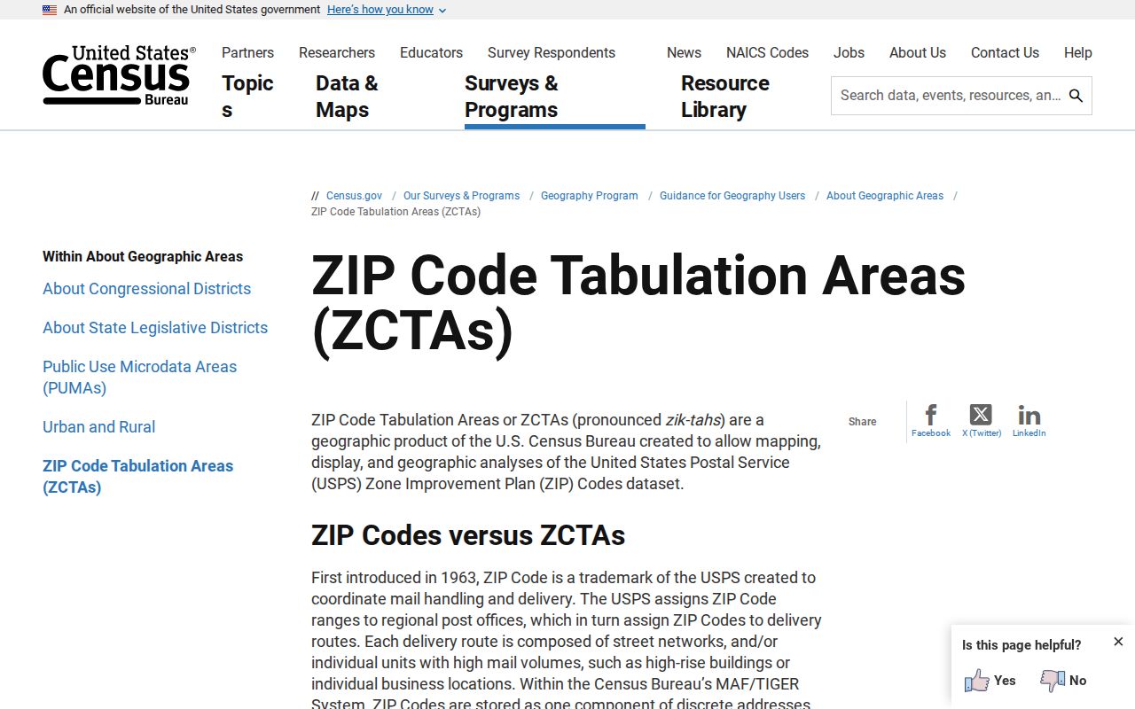
ZCTAs generalize clusters of addresses for statistics. They may omit unique or PO-box delivery codes and may be noncontiguous. Use them for countywide geography and counts, then use USPS for one address.
- ZIP code
- A USPS code used to route mail to delivery points.
- ZIP+4
- The base ZIP plus four digits that narrow a delivery segment.
- ZCTA
- A Census statistical area built to approximate many ZIP addresses.
- PO-box ZIP
- A code used mainly for post-office boxes rather than a residential area.
- Carrier route
- A delivery path within a postal area, not a municipal boundary.
Reading DuPage ZIP Relationship Data
The national 2020 ZCTA-to-county relationship file is the source for the DuPage-associated working list.

Filtering county FIPS 17043 finds overlaps with DuPage County. An overlap does not mean every address in that ZCTA is inside the county, which is why each table label remains a postal area rather than a hard municipal assignment.
County reports put DuPage's 2020 population at 932,877 and describe 39 municipalities, nine townships, 52 special districts, and 42 school districts. Those layers explain why one ZIP can hold many distinct record custodians and service districts.
DuPage ZIP Search Fields
Local portals do not offer one universal ZIP-wide resident query. Use the fields each official system actually supports. A ZIP helps verify a result after the right portal has found it, especially in statewide license, notary, entity, or unclaimed-property indexes.
| Official source | Fields that lead the search | ZIP role |
|---|---|---|
| USPS | Complete address or city and state | Returns delivery ZIP |
| Assessor | Address, owner, billing name, PIN, map | Result/address context |
| DuPage GIS | PIN, address, subdivision, intersection, map tools | Geographic context |
| Voter lookup | Name/DOB/identifier or house/street/city | Not a primary filter |
| IDFPR and notary | Name, credential or commission, profession | Statewide result filter |
Do not infer a household from a list of records sharing one ZIP code. A credential city, tax billing address, postal ZIP, and parcel situs can all differ for sound reasons.
Statewide tools use ZIP fields in their own narrow settings. Illinois professional-license, notary, business, and unclaimed-property searches may use a ZIP to trim a statewide result set. That does not turn any of them into a DuPage County resident roll. Municipal permit reports are more often keyed to an address, report month, or permit type. When a portal has no ZIP filter, use the full address or named party the form requests instead of trying to force postal geography into the search.
From DuPage ZIP to PIN
A DuPage address has four useful identities: delivery address, situs, legal description, and parcel PIN. The situs is the physical parcel location. The billing or mailing address is where tax mail goes and is not proof of occupancy. The legal description identifies land by lot, block, subdivision, and related boundary language. The PIN is the county's parcel key.
Start with ZIP, then move to PIN. The Assessor ties the address to current parcel data. GIS shows municipal and district geography. The Recorder ties names, PINs, legal descriptions, and documents together. Its online images and name index reach 1961, PIN searches 1985, and address searches 1995, while office property records reach 1839. Older work therefore shifts from ZIP and street text to owner names, plats, and legal descriptions.
Each key has its own fallback. Ask the Assessor or GIS staff about a current situs. Use the Recorder's public index, office books, research line, and certified-copy service for legal instruments. A municipal planning or clerk's office may hold an address crosswalk, annexation file, ordinance, or permit record. Illinois FOIA can request an existing local administrative record when it is not posted, but no official countywide renumbering ledger was found. For older addresses, library criss-cross directories and maps preserve the labels used in their publication year.
Historical DuPage ZIP Geography
Old directories do not follow modern ZIP boundaries. Wheaton phone books, Haines criss-cross volumes, census schedules, Sanborn maps, and printed directories follow the place names and publication areas of their year. An older address may appear under Eola, Fullersburg, Cloverdale, or York Center, names preserved in DuPage museum history even when modern dropdowns do not list them as municipalities.
The historic Wheaton grid offers another clue: the 1915-16 directory described east-west numbering from Main Street and north-south numbering from Front or Michigan, with odd numbers north and east and even numbers south and west. Treat that as a Wheaton-era convention, not a countywide rule. If annexation, extension, or renaming breaks a search, bridge the gap with subdivision plats, ordinances, GIS, legal descriptions, and municipal clerk records.
DuPage ZIP Boundary Limits
A ZIP code directory can sort a search area, but it cannot identify who lives at an address. Nor can it prove that a postal city controls a parcel. USPS, Census, the Assessor, GIS, and the Recorder answer different questions. Keep their results separate and date every capture.
If a portal is unavailable, call the Assessor or GIS office, ask the municipal clerk for an old-to-new address crosswalk, consult library directories, or file a focused Illinois FOIA request for an administrative address record. No official countywide street-renumbering ledger was found in the research, so do not assume that one exists.
Unique and post-office-box codes need added care because a Census ZCTA may not represent them like a normal residential delivery area. The DuPage working list flags 60157 as a unique-delivery context that requires address verification. Never convert that statistical or postal label into a claim about a household. Retain the full USPS result, then document the parcel and legal municipality through county sources.